|
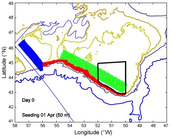
Fig. 7. Horizontal distribution of particles at the start of tracking. Green: Southwest Grand Bank (Bank); Red: Southwest Slope (Slope); Blue: Laurentian Channel. The nursery area on the south Grand Bank spans from the 100-m isobath to 45° N and from 52° W to 50° W (black polygon). The 100-, 200- , 1000-, and 3000-m isobaths are depicted. |
|